IMIS - Marine Research Groups | ||

PNG file - 38.28 kB - 936 x 662 pixels
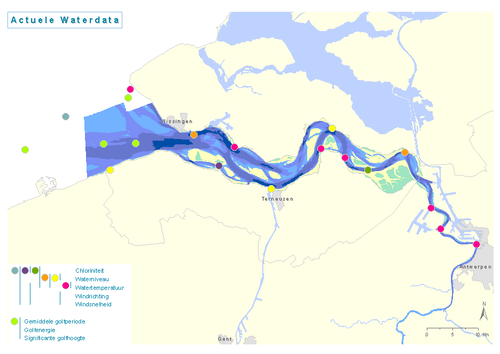
added on 2008-09-30416 viewsMap based on MWTL physical monitoring network: current water data
Click here to return to the thumbnails overview |
Vlaams Instituut voor de Zee | InnovOcean Campus | Jacobsenstraat 1, 8400 Oostende, België
Tel.: +32-(0)59-33 60 00 | e-mail: compendium@vliz.be